I am a results-driven GIS Specialist and Data Scientist with expertise in spatial data analysis, remote sensing, predictive modeling, and machine learning. My technical skills include Python, R, SQL, and JavaScript, with extensive experience in spatial-temporal analysis, geostatistics, and cloud-based geospatial platforms like Google Earth Engine.
Currently based in Arusha, Tanzania, I recently completed my Master of Science in Geospatial Technologies through the Erasmus Mundus program, studying at the University of Münster, Universitat Jaume I, and Universidade NOVA de Lisboa. My thesis focused on integrating spatial heterogeneity to enhance spatial-temporal crop yield predictions.
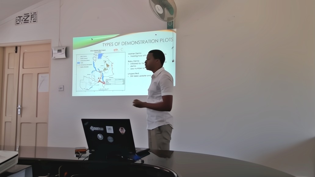
Previously, I worked as a Research Assistant - GIS & Data Science Specialist at the International Institute of Tropical Agriculture (IITA), where I developed machine learning models for crop yield forecasting, conducted suitability analyses for agricultural land use planning, and processed large-scale climate datasets. I'm passionate about leveraging geospatial and data-driven solutions in agriculture, climate change, and environmental management to support evidence-based decision-making.